Research shows that a broken lithosphere underneath the island of Hawai'i could explain the island's patterns of seismic activity.
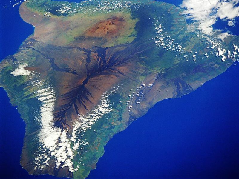 |
| The deep seismic activity on the island of Hawai'i can be explained by the weight of the volcanoes atop the Earth below. Credit: NASA |
The author used data taken from seismic stations around the island to understand the stress fields and focal mechanisms, which describe the slip that causes earthquakes and the orientation of the fault on which those quakes occur. The seismic data give valuable information about the orientation of the stress field and the pressure and tension axis. By analyzing the seismic data, the author saw that the pressure axis—the point where two planes compress—radiated from the center of the hole in the lithosphere. These radial patterns, according to the author, suggest that the downward-flexing lithosphere surrounds a weak region at its center. (Journal of Geophysical Research: Solid Earth, doi:10.1002/2015JB012746, 2016)